Surveying and mapping is one of the oldest professions on Earth, as humans have recognized the need to understand the world around them essentially since the time they realized there was an entire world around them. Despite its longstanding existence, it’s also among the industries most on the cutting edge, early to adopt new technologies and seamlessly implement them into workflows. From lidar to UAVs, surveyors have recognized that the world will be best off with the most data possible, and available for whoever can make use of it. Still today, we continue to see new innovations in the space being shared for everyone’s benefit.
In this week’s look at stories from around the industry looking at lidar-based and geospatial workflows, we touch on a lot of these themes. First up, we look at a common problem in today’s surveying landscape around how to work with multiple data types and fuse them together for a single deliverable. From there, we head out to outer space for a column from NUVIEW CEO Clint Graumann in which he talks about what space-based lidar, such as the systems NUVIEW is creating, can mean for the planet. Finally, we move to the mapping sector with an overarching look at the work of Overture Maps Foundation. Find the full articles below.

Tying Data Together
Lidar News
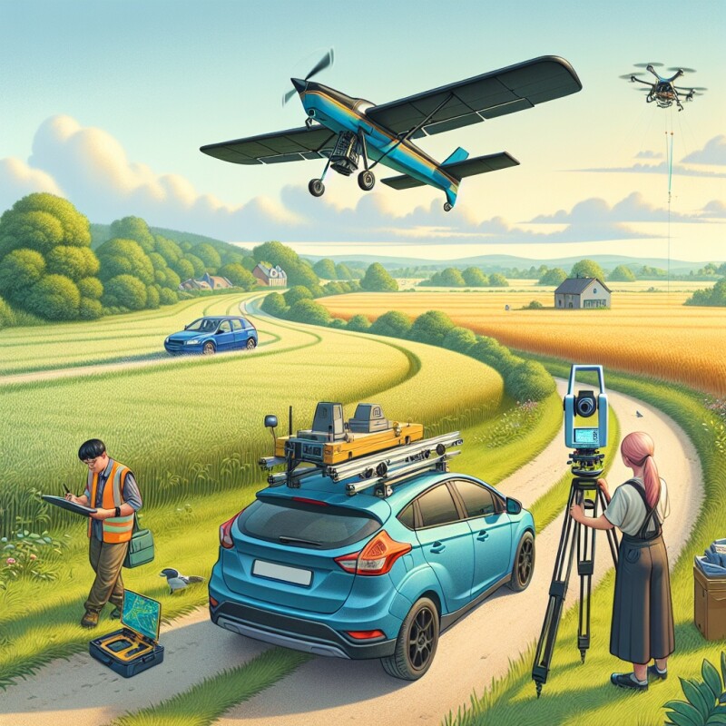
One of the most important developments around surveying in recent years has been the proliferation of different data collection techniques, be it utilizing UAVs, terrestrial mobile mapping techniques using cars or trains, aerial imagery in crewed aircraft, and traditional terrestrial scanning. These different techniques all help complete specific types of projects, but one of the major challenges that has arisen from this has been figuring out to bring all of this data together to provide clients with the best possible final deliverable. This article highlights how Merrick & Company has navigated this challenge, including pitfalls they’ve encountered and best practices they’ve developed to achieve these goals.

The Promise of Space-Based Lidar
Clint Graumann, ROOM
This article comes from Graumann, who is the CEO and Co-Founder of NUVIEW. They are a company we have covered extensively at Geo Week News, including a conversation with Graumann himself about the company’s aims to map Earth’s land surface on an annual basis. Space-based lidar isn’t exactly a new thing as it’s been utilized by NASA and other governmental agencies in the past, but NUVIEW is looking to be the first to commercialize the technology. In this article, Graumann talks about what space-lidar can already do, and the promise the technology ultimately holds for the commercial sector.

Overture Maps and the Cloud Native Global Map
Kevin Bullock, Development Seed
Development Seed describes themselves as “an engineering and product company that is accelerating the application of earth data to our biggest global challenges.” They have a special focus towards open-source tools and data and making data available to everyone who would want to access it, which of course makes them a perfect fit alongside Overture Maps Foundation. In this article, Development Seed’s Kevin Bullock reflects on his time at the inaugural Overture Maps Foundation in Ghent, Belgium, and talks about how their work can intersect with other work from his organization and the overall impact OMF can provide.